
Il n'y a pas une annotation en français. Présenté est une annotation en Anglais.

Les environs:


Localisation:
- Royaume-Uni, Littleton
- geo:51.085358,-1.346147
- Précision ± 0-5 m.
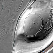
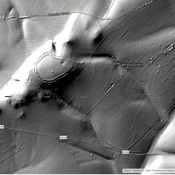
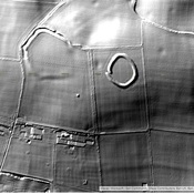
Period or year:
- -5xx? / unknown
Classification:
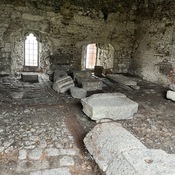
- Tombeau ou tombes
- Visible
Identificateurs:
- vici:place=98306
Annotations
Musées associés
City Museum Winchester
Museum that tells the history of Winchester
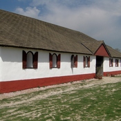
Butser Ancient Farm
Living History Iron Age Farmstead
À proximité
Oram's Arbour (2 km)
Iron hill fort
Stadtot (2 km)
Stadttor – Venta Belgarum – Winchester – England – Grossbritannien
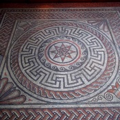
Venta Belgarum (3 km)
OmnesViae import OVPlace448