
Es gibt noch keine Anmerkungen. Bitte, Informationen einfügen.

Umgebung:

Lage:
- Usbekistan, Zortepa
- geo:37.456779,67.387215
- Lage ± 0-5 m.
Klassification:
- Beobachtung
- Sichtbar
Identifiers:
- vici:place=97574
Anmerkungen
In der Nähe
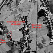
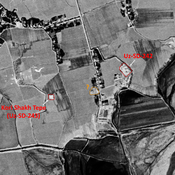
Zar Tepe (Uz-SD-342) (1 km)
early Medieval (?) small mound, in the backyard of modern houses. Probably destroyed. Reported by Annaev.
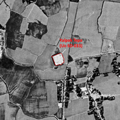
Unidentified site (2 km)
Probable settlement. Located with satellite imagery.
Charmangan - Sarmanjan (2 km)
Area, in modern Minor village, identified by Bartol'd as the medieval town of Charmangan / Sarmanjan. Several mounds and architectural remains in the vicinity.