
No annotations have been added. Please add information about this place.
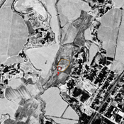
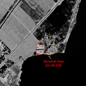
 Corona imagery (1970) - UZB-SD_1970_US-D (G‘alaba 1)")
Surroundings:


Location:
- Uzbekistan, G‘alaba
- geo:37.958256,67.68325
- Location ± 0-5 m.
Class:
- Archaeological observation
- invisible
Identifiers:
- vici:place=97550
Annotations
Nearby
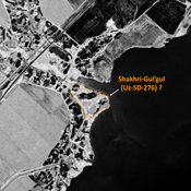
Karaul Tepe (?) (Uz-SD-197) (3 km)
Rectangular tepe. Uncertain identification with site B056 by Rtvladze (14 ha), a Kushan town that could mark the southern border of Chaghanian province.
Unidentified site (3 km)
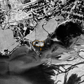
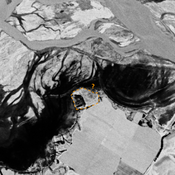
Probable archaeological site. Round mound, citadel of a larger urban area, visible on Corona imagery (1970), since destroyed by modern cultivation.
Unidentified site (3 km)
Probable archaeological site. Mound visible on Corona imagery (1970), since destroyed by erosion from the reservoir.