





Il n'y a pas d'annotations. Ajouter une note.

Localisation:
- Ouzbékistan, Kultepa
- geo:38.041084,67.85041
- Précision ± 0-5 m.
Classification:
- Observation
- Invisible
Identificateurs:
- vici:place=97538
Annotations
À proximité
Unidentified site
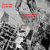
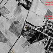
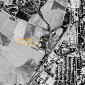
Probable archaological site. Square mound, visible on Corona imagery (1970), since destroyed by industries.
Unidentified site
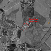
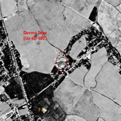
Probable settlement. Located with satellite imagery.
Unidentified site
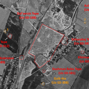
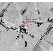
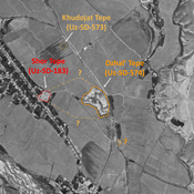
Probable settlement. Located with satellite imagery.