
Il n'y a pas d'annotations. Ajouter une note.

Les environs:
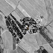
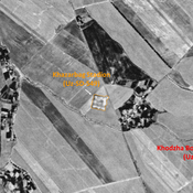
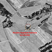
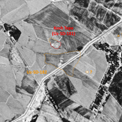
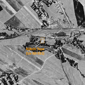
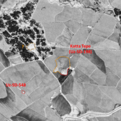
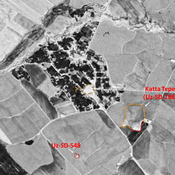
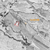
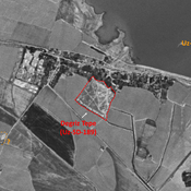
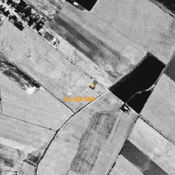
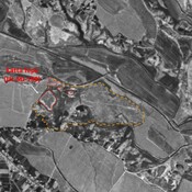
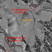

Localisation:
- Ouzbékistan, Jamatak
- geo:38.226978,67.806595
- Précision ± 0-5 m.
Classification:
- Observation
- Invisible
Identificateurs:
- vici:place=97452
Annotations
À proximité
Anonymous site (Uz-SD-553)
Small mound (0,05). Undated for lack of surface ceramics. Possible kurgan. Surveyed by MAFOuz.
Unidentified site (1 km)
Probable archaeological site. Cluster of mounds, visible on Corona imagery (1970), since destroyed by urbanisation.
Mazarat Tepe (Uz-SD-532) (1 km)
Also known as Shait Bobo Tepe. Medieval Islamic settlement. Small site, formally rectangular (0,8 ha), partially destroyed by modern cultivation. Studied by MAFOuz.