
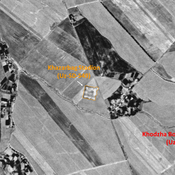
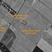
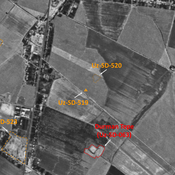
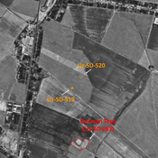
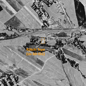
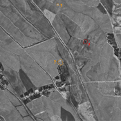
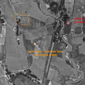
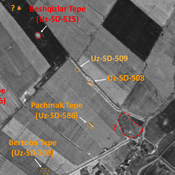
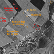
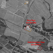
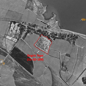
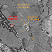
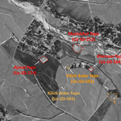
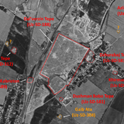
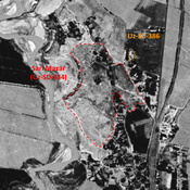
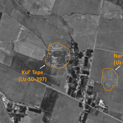
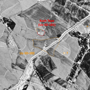
STRIDE, S. (2004), La Géographie archéologique de la province du Surkhan Darya (Bactriane du Nord, Ouzbekistan du Sud). Unpublished dissertation at the Université panthéon-Sorbonne (Paris), 5 vols. ( https://sirisacademic.academia.edu/SebastianStride?swp=tc-au-44230952 )

Location:
- Uzbekistan, Paxtakurash
- geo:38.169624,67.842979
- Location ± 0-5 m.
Class:
- Archaeological observation
- invisible
Identifiers:
- vici:place=97382
Annotations
Nearby
Anonymous settlement (Uz-SD-604) (1 km)
Early Medieval and pre-Mongol settlement (0,8 ha). Square site (9àx90m), mostly destroyed by modern activities. Studied by MAFOuz.
Katta Tepe (Uz-SD-199) (2 km)
Kushan and early Medieval city-size settlement. Western high mound (0,8 ha) remaining , surrounded by smaller tepes. Outline of urban area visible on Corona imagery (1970). Studied by Arshavskaja & Rtveladze, and MAFOuz.
Dunjo Tepe (Uz-SD-600) (2 km)
Late Iron Age (Achaemenid?) settlement (2 ha), on a natural hill. Possible citadel of a larger site, indistinct on Corona imagery. Ploughed and almost destroyed. Studied by MAFOuz.