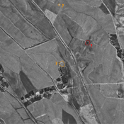
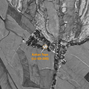
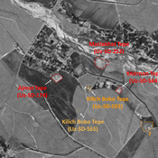
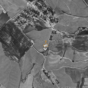
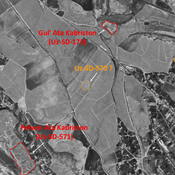
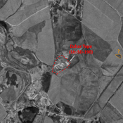
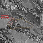
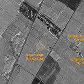
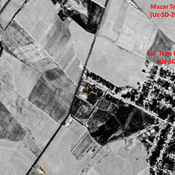
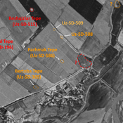
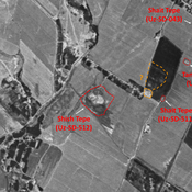
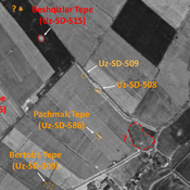
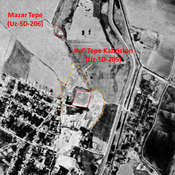
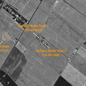
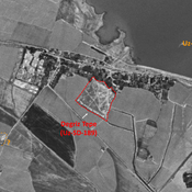
STRIDE, S. (2004), La Géographie archéologique de la province du Surkhan Darya (Bactriane du Nord, Ouzbekistan du Sud). Unpublished dissertation at the Université panthéon-Sorbonne (Paris), 5 vols. ( https://sirisacademic.academia.edu/SebastianStride?swp=tc-au-44230952 )
Locatie:
- Oezbekistan, Yalti
- geo:38.113453,67.807053
- Locatie precies
Period or year:
- 1xx / 3xx
Classificatie:
- Stad
- Niet zichtbaar
Identifiers:
- vici:place=97375
Annotaties
Er zijn nog geen Nederlandstalige annotaties. Hier volgen annotaties in het Engels.
STRIDE, S. (2004), La Géographie archéologique de la province du Surkhan Darya (Bactriane du Nord, Ouzbekistan du Sud). Unpublished dissertation at the Université panthéon-Sorbonne (Paris), 5 vols. ( https://sirisacademic.academia.edu/SebastianStride?swp=tc-au-44230952 )
In de buurt
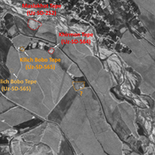
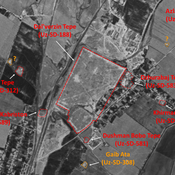
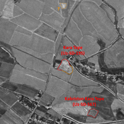
Shor Tepe (Uz-SD-183)
Kushan and early Medieval settlement (1 ha). Badly damaged in 1970 already, and in the process of destruction by modern urbanisation nowdays. Studied by Arshavskaja & Rtveladze, and MAFOuz.
Khudojat Tepe (Uz-SD-573)
Early Medieval and Pre-Mongol Islamic site (0,06 ha). Indicated on 1951 topographical map, and destroyed in 1959 by modern cultivation. Surveyed by MAFOuz.
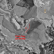
Munchak Tepe (Uz-SD-572) (1 km)
Medieval Islamic settlement (0,3 ha). South-eastern lower part destroyed by modern urbanisation. Studied by MAFOuz.


