
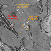
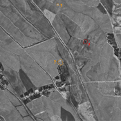
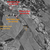
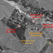
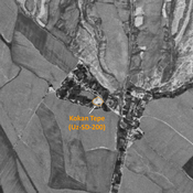
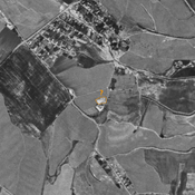
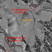
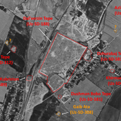
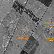
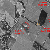
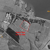
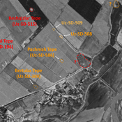
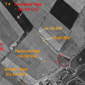
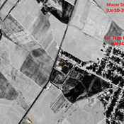
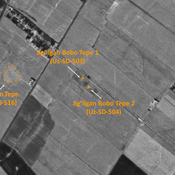
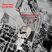
STRIDE, S. (2004), La Géographie archéologique de la province du Surkhan Darya (Bactriane du Nord, Ouzbekistan du Sud). Unpublished dissertation at the Université panthéon-Sorbonne (Paris), 5 vols. ( https://sirisacademic.academia.edu/SebastianStride?swp=tc-au-44230952 )
Localisation:
- Ouzbékistan, Yalti
- geo:38.118607,67.802452
- Précision ± 25-100 m.
Period or year:
- 6xx / 8xx
Classification:
- Bâtiment
- Invisible
Identificateurs:
- vici:place=97374
Annotations
Il n'y a pas une annotation en français. Présenté est une annotation en Anglais.
STRIDE, S. (2004), La Géographie archéologique de la province du Surkhan Darya (Bactriane du Nord, Ouzbekistan du Sud). Unpublished dissertation at the Université panthéon-Sorbonne (Paris), 5 vols. ( https://sirisacademic.academia.edu/SebastianStride?swp=tc-au-44230952 )
À proximité
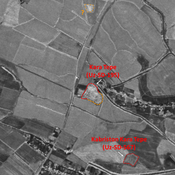
Shor Tepe (Uz-SD-183)
Kushan and early Medieval settlement (1 ha). Badly damaged in 1970 already, and in the process of destruction by modern urbanisation nowdays. Studied by Arshavskaja & Rtveladze, and MAFOuz.
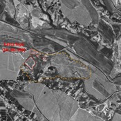
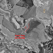
Dzhal' Tepe (Uz-SD-574)
Kushan settlement. Large mound (10 ha), still visible on Corona imagery (1970), since destroyed by modern cultivation. Surveyed and dated by MAFOuz.
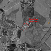
Munchak Tepe (Uz-SD-572)
Medieval Islamic settlement (0,3 ha). South-eastern lower part destroyed by modern urbanisation. Studied by MAFOuz.


