
Vici.org
Il n'y a pas d'images. Télécharger une image.

Les environs:

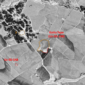
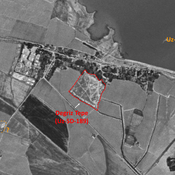
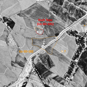
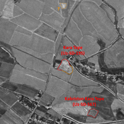
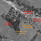
UZB-SD_1970_Abdul Rahmon Tepe 557UZB-SD_1970_Kurgan Tepe 204UZB-SD_1970_US-D (Khedersha 1)UZB-SD_1970_AS 045 (Xo‘jasoat)UZB-SD_1970_Katta Tepe 198UZB-SD_1970_Degriz Tepe 189UZB-SD_1970_AS 182 (Ekraz)UZB-SD_1970_Kara Tepe 195UZB-SD_1970_US-D (Yangiobod 1)UZB-SD_1970_Kilich Bobo Tepe 565UZB-SD_1970_US-D (Bibi-Zaynap 1)

Localisation:

  • Ouzbékistan, Qarluq
  • geo:38.197239,67.694344
  • Précision ± 0-5 m.

Period or year:

  • -22xx? / unknown

Classification:

  • Tombeau ou tombes
  • Invisible

Identificateurs:

  • vici:place=97369

Annotations

Il n'y a pas une annotation en français. Présenté est une annotation en Anglais.

STRIDE, S. (2004), La Géographie archéologique de la province du Surkhan Darya (Bactriane du Nord, Ouzbekistan du Sud). Unpublished dissertation at the Université panthéon-Sorbonne (Paris), 5 vols. ( https://sirisacademic.academia.edu/SebastianStride?swp=tc-au-44230952 )

STRIDE, S. (2004), La Géographie archéologique de la province du Surkhan Darya (Bactriane du Nord, Ouzbekistan du Sud). Unpublished dissertation at the Université panthéon-Sorbonne (Paris), 5 vols. ( https://sirisacademic.academia.edu/SebastianStride?swp=tc-au-44230952 )


À proximité

Abdul Rahmon Tepe (Uz-SD-557)

Early Medieval and pre-Mongol settlement, associated with an ancient cemetery. Elevated area, visible on Corona imagery (1970), since damaged and covered by modern urbanisation. Surveyed by MAFOuz.

Munchak Tepe 1 (Uz-SD-209)

Early Medieval and Medieval Islamic settlement (0,7 ha). Rectangular site, almost completely destroyed by modern urbanisation. Studied by Arshavskaja & Rtveladze, and MAFOuz.

Munchak Tepe 2 (Uz-SD-556) (1 km)

Kushan site (0,1 ha). Finds of human bones. Mostly destroyed by nearby modern construction. Surveyed by MAFOuz.