
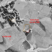
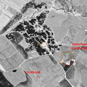
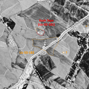
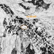
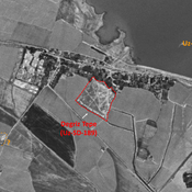
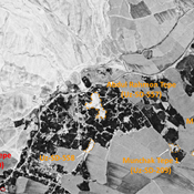
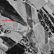
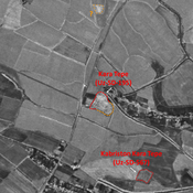
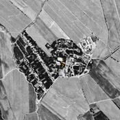
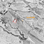
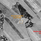
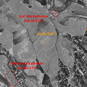
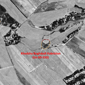
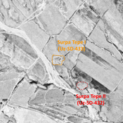
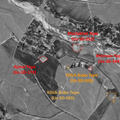
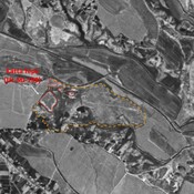
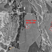
STRIDE, S. (2004), La Géographie archéologique de la province du Surkhan Darya (Bactriane du Nord, Ouzbekistan du Sud). Unpublished dissertation at the Université panthéon-Sorbonne (Paris), 5 vols. ( https://sirisacademic.academia.edu/SebastianStride?swp=tc-au-44230952 )
Er zijn nog geen afbeeldingen met betrekking tot deze plaats toegevoegd.
Afbeelding toevoegen.
Omgeving:
Locatie:
- Oezbekistan, Khedersha
- geo:38.218239,67.741585
- Locatie precies
Period or year:
- 10xx / 11xx
Classificatie:
- Landelijke nederzetting
- Zichtbaar
Identifiers:
- vici:place=97016
Annotaties
Er zijn nog geen Nederlandstalige annotaties. Hier volgen annotaties in het Engels.
STRIDE, S. (2004), La Géographie archéologique de la province du Surkhan Darya (Bactriane du Nord, Ouzbekistan du Sud). Unpublished dissertation at the Université panthéon-Sorbonne (Paris), 5 vols. ( https://sirisacademic.academia.edu/SebastianStride?swp=tc-au-44230952 )
In de buurt
Unidentified site
Probable settlement. Located with satellite imagery.
Unidentified site
Probable archaeological site. Mound, visible on Corona imagery (1970), since destroyed by urbanisation.
Roushanbaj Tepe (Uz-SD-180) (1 km)
Also known as Khodzha Burkhon, Kilich Ota and Ravshanboj Tepe. Early Medieval, pre-Mongol and modern settlement. Studied by Arshavskaja & Rtveladze, and MAFOuz.


