
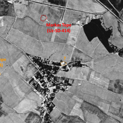
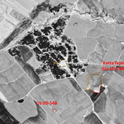
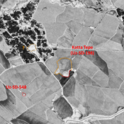
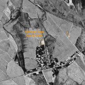
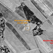
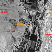
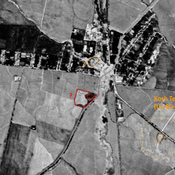
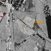
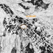
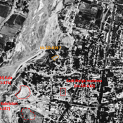
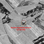
STRIDE, S. (2004), La Géographie archéologique de la province du Surkhan Darya (Bactriane du Nord, Ouzbekistan du Sud). Unpublished dissertation at the Université panthéon-Sorbonne (Paris), 5 vols. ( https://sirisacademic.academia.edu/SebastianStride?swp=tc-au-44230952 )

Location:
- Uzbekistan, Hayrondara
- geo:38.284885,67.789101
- Location ± 0-5 m.
Period or year:
- -3xx / -2xx
Class:
- Rural settlement
- visible
Identifiers:
- vici:place=96981
Annotations
Nearby
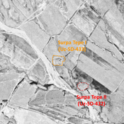
Surpa Tepe I (Uz-SD-433)
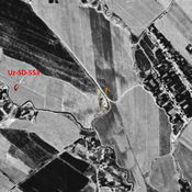
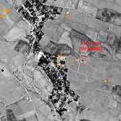
Kushan square settlement (0,8 ha), visible on Corona imagery (1970), since destroyed by modern cultivation. Surveyed by MAFOuz.
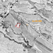
Anonymous site (Uz-SD-498) (1 km)
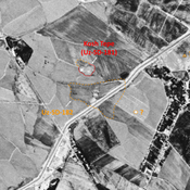
Undated site (0,2 ha), for lack of relevant ceramics. Small mound, visible on Corona imagery (1970), since destroyed by modern construction and cultivation. Surveyed by MAFOuz.
Unidentified site (1 km)
Probable settlement. Located with satellite imagery.