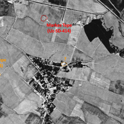
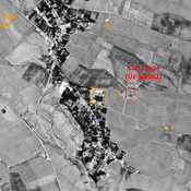
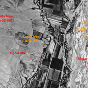
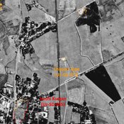
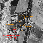
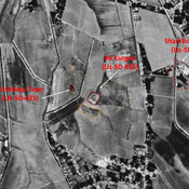
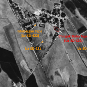
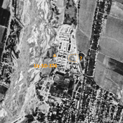
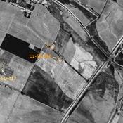
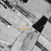
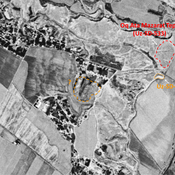
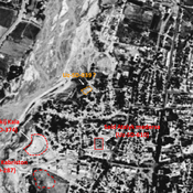
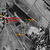
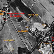
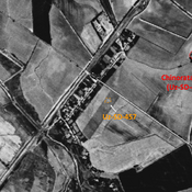
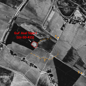
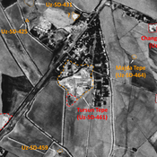
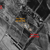
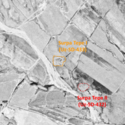
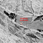
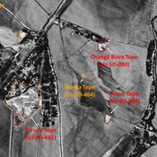
STRIDE, S. (2004), La Géographie archéologique de la province du Surkhan Darya (Bactriane du Nord, Ouzbekistan du Sud). Unpublished dissertation at the Université panthéon-Sorbonne (Paris), 5 vols. ( https://sirisacademic.academia.edu/SebastianStride?swp=tc-au-44230952 )
Localisation:
- Ouzbékistan, Qaytmas
- geo:38.335339,67.855896
- Précision ± 0-5 m.
Period or year:
- 10xx / 11xx
Classification:
- Habitat rural
- Visible
Identificateurs:
- vici:place=96975
Annotations
Il n'y a pas une annotation en français. Présenté est une annotation en Anglais.
STRIDE, S. (2004), La Géographie archéologique de la province du Surkhan Darya (Bactriane du Nord, Ouzbekistan du Sud). Unpublished dissertation at the Université panthéon-Sorbonne (Paris), 5 vols. ( https://sirisacademic.academia.edu/SebastianStride?swp=tc-au-44230952 )
À proximité
Unidentified site (1 km)
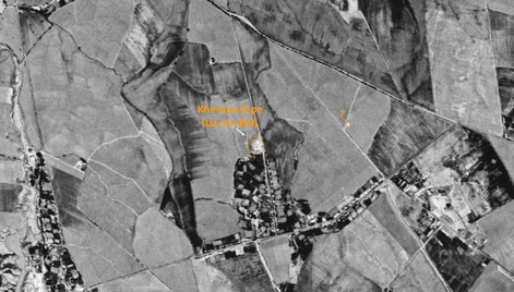
Probable settlement. Located with satellite imagery.
Kosh Tepe 1 (Uz-SD-495) (1 km)
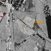
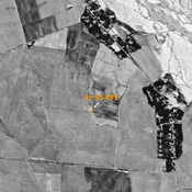
Yuezhi, Kushan, and early Medieval settlement (1 ha). Consisted of a citadal and a lower town, visible on Corona imagery (1970) with indistinct limits. Since destroyed entirely by modern cultivation. Fieldwork by Rtveladze, and surveyed by MAFOuz.
Kara Jasaul Tepe (Uz-SD-413) (1 km)
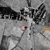
Yuezhi ceramic scatter, on top of a natural hill. Surveyed by MAFOuz.

