
STRIDE, S. (2004), La Géographie archéologique de la province du Surkhan Darya (Bactriane du Nord, Ouzbekistan du Sud). Unpublished dissertation at the Université panthéon-Sorbonne (Paris), 5 vols. ( https://sirisacademic.academia.edu/SebastianStride?swp=tc-au-44230952 )
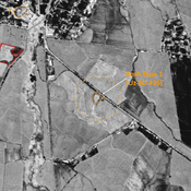
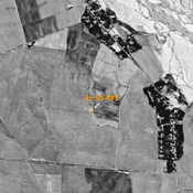
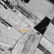
 - UZB-SD_1970_Khirman Tepe 410")
Surroundings:


Location:
- Uzbekistan, Qaytmas
- geo:38.335339,67.855896
- Location ± 0-5 m.
Period or year:
- 10xx / 11xx
Class:
- Rural settlement
- visible
Identifiers:
- vici:place=96975
Annotations
Nearby
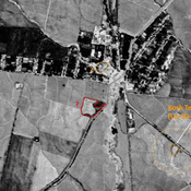
Chigataj Tepe (Uz-SD-411) (1 km)
Late Iron Age (Achemenid?) and Kushan settlement (1,2 ha). Square site, covered by a modern cemetery, studied by MAFOuz.
Kosh Tepe (Uz-SD-495 & 496) (1 km)
Yuezhi, Kushan, and early Medieval settlement (1 ha). Consisted of a citadal and a lower town, visible on Corona imagery (1970) with indistinct limits. Since destroyed entirely by modern cultivation. Fieldwork by Rtveladze, and surveyed by MAFOuz.
Kara Jasaul Tepe (Uz-SD-413) (1 km)
Yuezhi ceramic scatter, on top of a natural hill. Surveyed by MAFOuz.