
Vici.org
Il n'y a pas d'images. Télécharger une image.

Les environs:

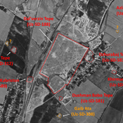
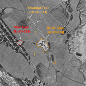
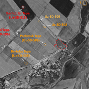
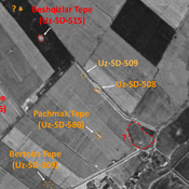
Dal'verzin Tepe (Uz-SD-188)UZB-SD_1970_Dzhal' Tepe 574UZB-SD_1970_Pachmak Tepe 586UZB-SD_1970_AS 508 (Chukur)UZB-SD_1970_Dzhar Tepe 190UZB-SD_1970_Rustam Tepe 516UZB-SD_1970_Kul' Tepe Kabriston 205UZB-SD_1970_Jig'ilgan Bobo Tepe 503UZB-SD_1970_US-D (Indaly 1)UZB-SD_1970_Dunjo Tepe 600UZB-SD_1970_Shish Tepe 512UZB-SD_1970_US-D (Kultepa 1)UZB-SD_1970_AS 523 (Ijtimoyyot)UZB-SD_1970_US-D (Yangiqurilish 1)UZB-SD_1970_Abdul Aziz Shait Bobo Tepe 579UZB-SD_1970_Katta Tepe 199UZB-SD_1970_US-D (Dzharty 1)UZB-SD_1970_US-D (Khasan-Tepe 1)UZB-SD_1970_AS 519 (Khasan-Tepe)UZB-SD_1970_AS 570 (Paxtakurash)UZB-SD_1970_Kokan Tepe 200UZB-SD_1970_AS 520 (Khasan-Tepe)

Localisation:

  • Ouzbékistan, Dalvarzin
  • geo:38.100567,67.851738
  • Précision ± 0-5 m.

Period or year:

  • 6xx / 9xx

Classification:

  • Habitat rural
  • Visible

Identificateurs:

  • vici:place=96883

Annotations

Il n'y a pas une annotation en français. Présenté est une annotation en Anglais.

STRIDE, S. (2004), La Géographie archéologique de la province du Surkhan Darya (Bactriane du Nord, Ouzbekistan du Sud). Unpublished dissertation at the Université panthéon-Sorbonne (Paris), 5 vols. ( https://sirisacademic.academia.edu/SebastianStride?swp=tc-au-44230952 )

STRIDE, S. (2004), La Géographie archéologique de la province du Surkhan Darya (Bactriane du Nord, Ouzbekistan du Sud). Unpublished dissertation at the Université panthéon-Sorbonne (Paris), 5 vols. ( https://sirisacademic.academia.edu/SebastianStride?swp=tc-au-44230952 )


À proximité

Unidentified site

Probable settlement. Located with satellite imagery.

Changal Bobo Kabriston (Uz-SD-589)

A remaining part of Dal'verzin Tepe urban area forming a hill. Yuezhi period ceramics studied by MAFOuz. Used as a modern cemetery.

Dalverzin tepe

Dalverzin tepe