
Er zijn nog geen annotaties toegevoegd. Voeg een annotatie met betrekking tot deze plaats toe.
Er zijn nog geen afbeeldingen met betrekking tot deze plaats toegevoegd.
Afbeelding toevoegen.
Afbeelding toevoegen.
Omgeving:
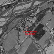
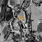

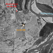

Locatie:
- Oezbekistan, Oltaaryk
- geo:37.296871,67.345467
- Locatie precies
Classificatie:
- Archeologische waarneming
- Zichtbaar
Identifiers:
- vici:place=96699
Annotaties
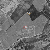
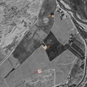
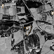
In de buurt
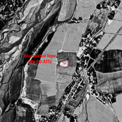
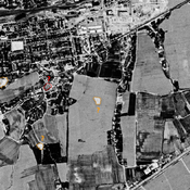
Shakhri Gul'Gul Tepe (Uz-SD-293) (1 km)
Post-Mongol site. Entirely destroyed by modern cultivation. Studied by Annaev.
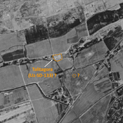
Talitagora (Uz-SD-133) ? (1 km)
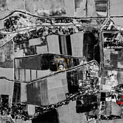
Also known as Topitagara Tepe. Kushan and early Medieval square fortified settlement (0,75 ha). Probable identification with Annaev site 10. Almost destroyed by modern construction, but visible on Corona imagery (1970).
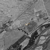
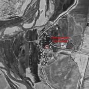
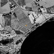
Unidentified site (1 km)
Possible archaeological site, located with satellite imagery, and already visible in 1970.