

Er zijn nog geen Nederlandstalige annotaties. Hier volgen annotaties in het Engels.
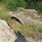
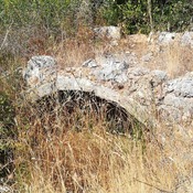
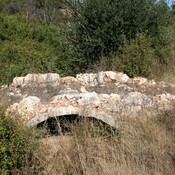
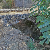
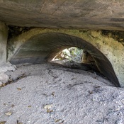
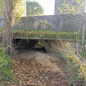
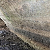
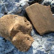
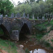
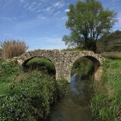
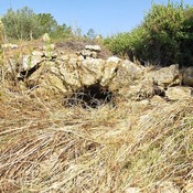
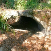
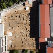
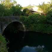
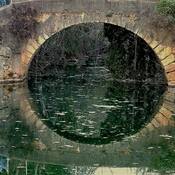
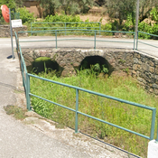
Identified in Tomar's 2021 archeological survey (Carlos Batata).
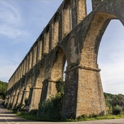
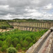
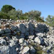
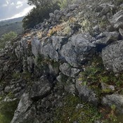
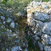
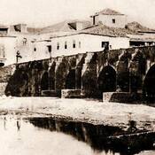
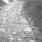
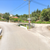
The road was the main road of Tomar northern territotories until the 1864, when the railway (North Line) demands a new road to the new station.
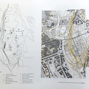
Road runs along the hills ridge, connecting Tomar/Sellium to the North and West (Collipo), but also to the East (Nabão river passage) and Beselga's valley
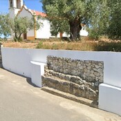
Nearest toponym São Simão, Valinhos, Valongo
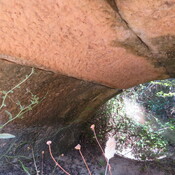
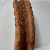
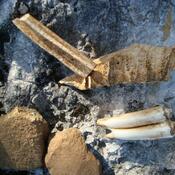
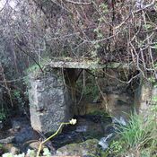
Some (small) original sections are visible, as they were disused.