Vici.org
Er zijn nog geen afbeeldingen met betrekking tot deze plaats toegevoegd.
Afbeelding toevoegen.

Omgeving:

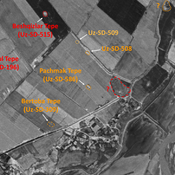
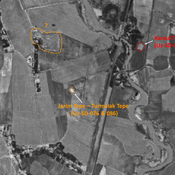
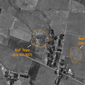
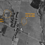
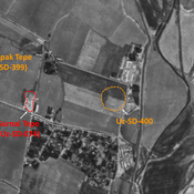
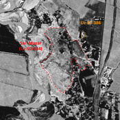
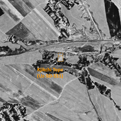
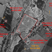
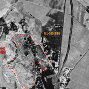
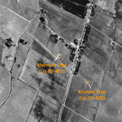
UZB-SD_1970_AS 519 (Khasan-Tepe)UZB-SD_1970_AS 520 (Khasan-Tepe)UZB-SD_1970_AS 523 (Ijtimoyyot)UZB-SD_1970_US-D (Khasan-Tepe 1)UZB-SD_1970_Jig'ilgan Bobo Tepe 503UZB-SD_1970_Shish Tepe 512UZB-SD_1970_Rustam Tepe 516UZB-SD_1970_Budrach 054 - ChaghanianUZB-SD_1970_AS 508 (Chukur)UZB-SD_1970_Dunjo Tepe 600UZB-SD_1970_Pachmak Tepe 586UZB-SD_1970_Jarim Tepe - Turmalak Tepe (076 and 086)UZB-SD_1970_US-D (Adak 1)UZB-SD_1970_Kul' Tepe 397UZB-SD_1970_Narvaj Tepe 396UZB-SD_1970_AS 400 (Surnaytepa)UZB-SD_1970_Sari Mazar 384UZB-SD_1970_Katta Tepe 199UZB-SD_1970_Kjikchi Tepe 551Dal'verzin Tepe (Uz-SD-188)UZB-SD_1970_AS 386 (Ishakul’dy)UZB-SD_1970_Khirman Tepe 401UZB-SD_1970_Khodzha Boghdadi Kabriston 550

Locatie:

  • Oezbekistan, Ijtimoyyot
  • geo:38.159309,67.905891
  • Locatie precies

Period or year:

  • 7xx / 8xx

Classificatie:

  • Landelijke nederzetting
  • Zichtbaar

Identifiers:

  • vici:place=96618

Annotaties

Er zijn nog geen Nederlandstalige annotaties. Hier volgen annotaties in het Engels.

STRIDE, S. (2004), La Géographie archéologique de la province du Surkhan Darya (Bactriane du Nord, Ouzbekistan du Sud). Unpublished dissertation at the Université panthéon-Sorbonne (Paris), 5 vols. ( https://sirisacademic.academia.edu/SebastianStride?swp=tc-au-44230952 )

STRIDE, S. (2004), La Géographie archéologique de la province du Surkhan Darya (Bactriane du Nord, Ouzbekistan du Sud). Unpublished dissertation at the Université panthéon-Sorbonne (Paris), 5 vols. ( https://sirisacademic.academia.edu/SebastianStride?swp=tc-au-44230952 )


In de buurt

Anonymous site (Uz-SD-519)

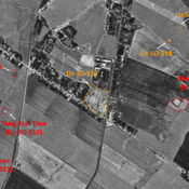
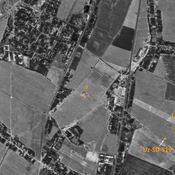
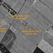
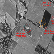
Pre-Mongol Medieval Islamic site. Very small mound (20x15m), visible on Corona imagery, since destroyed by modern cultivation.

Anonymous site (Uz-SD-520)

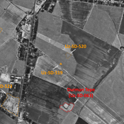
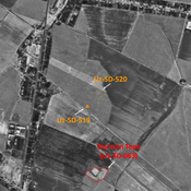
Pre-Mongol Medieval Islamic site (0,12 ha). Indicated on 1950 topographical map, but almost destroyed and barely noticeable on 1970 Corona imagery. Surveyed by MAFOuz.

Anonymous settlement (Uz-SD-523)

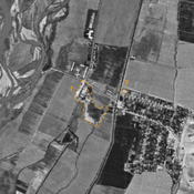
Early Medieval and pre-Mongol settlement. Square site (3,1 ha), Consisting of a citadel, and a northern and eastern enclosure. Still visible on 1970 Corona imagery, since destroyed by urbanisation. Surveyed by MAFOuz.

Dit object is toegevoegd door Julien De Chocqueuse op 2024-05-16. Laatst bewerkt door Julien De Chocqueuse op 2024-07-15. Persistent URI: http://vici.org/vici/96618 . Download als RDF/XML, KML.
Annotatie beschikbaar onder de Creative Commons Naamsvermelding-GelijkDelen 3.0 Unported-licentie. Metadata beschikbaar onder de Creative Commons Publiek Domein Verklaring, tenzij expliciet anders aangegeven.
Lijntracé bij dit punt door Julien De Chocqueuse.

Vici.org partners:

Livius.org: articles on ancient history   Rijksmuseum van Oudheden