
STRIDE, S. (2004), La Géographie archéologique de la province du Surkhan Darya (Bactriane du Nord, Ouzbekistan du Sud). Unpublished dissertation at the Université panthéon-Sorbonne (Paris), 5 vols. ( https://sirisacademic.academia.edu/SebastianStride?swp=tc-au-44230952 )

Surroundings:
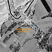

Location:
- Uzbekistan, Jaloyir
- geo:37.763485,67.538452
- Location ± 0-5 m.
Period or year:
- 5xx / 15xx?
Class:
- City
- visible
Identifiers:
- vici:place=96592
Annotations
Nearby
Bandykhansaj Tepe (Uz-SD-281) ? (2 km)
Late Iron Age settlement, on the right bank of the Bandykhansaj. Small site, studied by Rtveladze. Destroyed by modern urbanisation and cultivation, but possibly identified on Corona imagery.
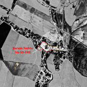
Karvan Tushtu (Uz-SD-248) (5 km)
Also known as Katta Tepe. Kushan settlement (2 ha). Partially destroyed in 1970 already. Studied by Rtvealdze and Khakimov.
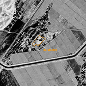
Unidentified site (5 km)
Probable archaeological site. Small mostly square mound, located with satellite imagery.