
Vici.org
Il n'y a pas d'images. Télécharger une image.

Les environs:

UZB-SD_1970_US (Yangihayot 1)UZB-SD_1970_US-D (Kul’-Mazar 1)UZB-SD_1970_Kul' Tepe 481UZB-SD_1970_Guraz Tepe (Uz-SD-092)UZB-SD_1970_Mor Tepe 102UZB-SD_1970_Khumdan Tepe 108UZB-SD_1970_US (Irmang 1)UZB-SD_1970_Kingyr Tepe 101UZB-SD_1970_Guri Tepe 489

Localisation:

  • Ouzbékistan, Chuqurqishloq
  • geo:38.43454,67.975372
  • Précision ± 0-5 m.

Period or year:

  • 4xx / 12xx

Classification:

  • Habitat rural
  • Visible

Identificateurs:

  • vici:place=96580

Annotations

Il n'y a pas une annotation en français. Présenté est une annotation en Anglais.

STRIDE, S. (2004), La Géographie archéologique de la province du Surkhan Darya (Bactriane du Nord, Ouzbekistan du Sud). Unpublished dissertation at the Université panthéon-Sorbonne (Paris), 5 vols. ( https://sirisacademic.academia.edu/SebastianStride?swp=tc-au-44230952 )

STRIDE, S. (2004), La Géographie archéologique de la province du Surkhan Darya (Bactriane du Nord, Ouzbekistan du Sud). Unpublished dissertation at the Université panthéon-Sorbonne (Paris), 5 vols. ( https://sirisacademic.academia.edu/SebastianStride?swp=tc-au-44230952 )


À proximité

Unidentified site (1 km)

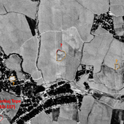
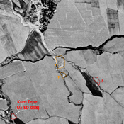
Probable archaeological site. Small mound, visible on Corona imagery (1970), since destroyed by modern cultivation.

Anonymous settlement (Uz-SD-255) (1 km)

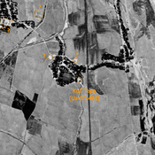
Kushan settlement (0,7). Rectangular tepe with a citadel and a lower town (already destroyed in 1970). No remains. Studied by Rtveladze and Khakimov.

Unidentified site (1 km)

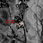
Probable settlement. Located with satellite imagery.