
Il n'y a pas d'annotations. Ajouter une note.

Localisation:
- Ouzbékistan, Shaytan-Kishlak
- geo:38.421192,67.866135
- Précision ± 0-5 m.
Classification:
- Observation
- Visible
Identificateurs:
- vici:place=96579
Annotations
À proximité
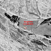
Kurgancha (Uz-SD-067) (2 km)
High Medieval settlement (0,1 ha). Studied by Arshavskaja & Rtveladze, and MAFOuz.
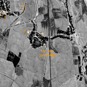
Unidentified site (2 km)
Probable archaeological site. Visible on Corona imagery (1970), since destroyed by urbanisation.
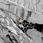
Unidentified site (3 km)
Possible archaeological site. Used today as a cemetery. Located with satellite imagery.