
Vici.org
No images available yet. Please add images related to this place.

Surroundings:

UZB-SD_1970_US-D (Yangiqurilish 1)UZB-SD_1970_AS 570 (Paxtakurash)UZB-SD_1970_US-D (Dzharty 1)UZB-SD_1970_Kara Tepe 195UZB-SD_1970_Kilich Bobo Tepe 565UZB-SD_1970_Katta Tepe 199UZB-SD_1970_Dzhal' Tepe 574UZB-SD_1970_US-D (Bibi-Zaynap 1)UZB-SD_1970_Degriz Tepe 189UZB-SD_1970_Dunjo Tepe 600UZB-SD_1970_Kokan Tepe 200UZB-SD_1970_Shish Tepe 512UZB-SD_1970_Khazarbag Stadion 549Dal'verzin Tepe (Uz-SD-188)UZB-SD_1970_Khodzha Boghdadi Kabriston 550UZB-SD_1970_Rustam Tepe 516UZB-SD_1970_AS 182 (Ekraz)UZB-SD_1970_Katta Tepe 198UZB-SD_1970_US-D (Jamatak 1)

Location:

  • Uzbekistan, Yangiqurilish
  • geo:38.149014,67.78965
  • Location ± 0-5 m.

Class:

  • Archaeological observation
  • visible

Identifiers:

  • vici:place=96109

Annotations


Nearby

Unidentified site

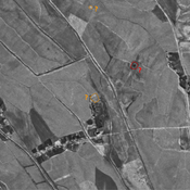
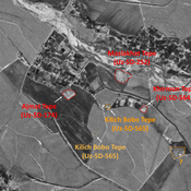
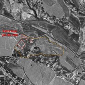
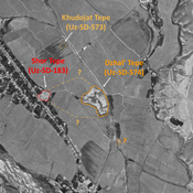
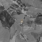
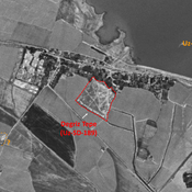
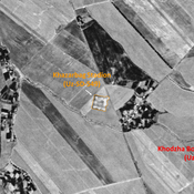
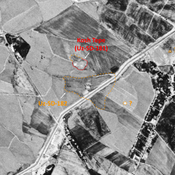
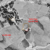
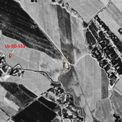
Probable archaeological site. Mostly square mound, visible on Corona imagery (1970), since destroyed by modern cultivation.

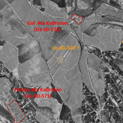
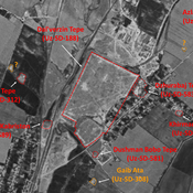
Polvon Ata Kabriston (Uz-SD-571) (1 km)

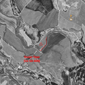
Early Medieval (7-8th c. CE) ceramic scatter on a natural hill, covered by a modern cemetery. Possible extensive or seasonnal ancient occupation. Surveyed by MAFouz.

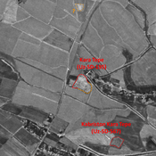
Kabriston Kara Tepe (Uz-SD-567) (1 km)

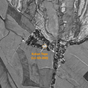
Bronze Age (?), and Kushan settlement (1 ha). Square site, used as a cemetery. Studied by MAFOuz.


This object was added by Julien De Chocqueuse on 2024-04-03. Last update by Julien De Chocqueuse on 2024-04-03. Persistent URI: http://vici.org/vici/96109 . Download as RDF/XML, KML.
Annotation available using the Creative Commons Attribution-ShareAlike 3.0 Unported license. Metadata available using the Creative Commons Public Domain Dedication, unless it is explicitly stated otherwise.

Vici.org partners:

Livius.org: articles on ancient history   Rijksmuseum van Oudheden