


STRIDE, S. (2004), La Géographie archéologique de la province du Surkhan Darya (Bactriane du Nord, Ouzbekistan du Sud). Unpublished dissertation at the Université panthéon-Sorbonne (Paris), 5 vols. ( https://sirisacademic.academia.edu/SebastianStride?swp=tc-au-44230952 )

Location:
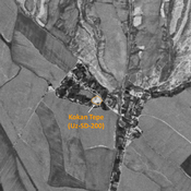
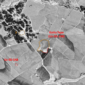
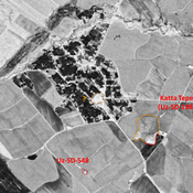
- Uzbekistan, Kara-Tyube
- geo:38.158035,67.791969
- Location ± 0-5 m.
Class:
- Archaeological observation
- invisible
Identifiers:
- vici:place=78502
Annotations
Nearby
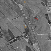
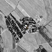
Unidentified site (1 km)
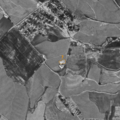
Probable settlement. Located with satellite imagery.
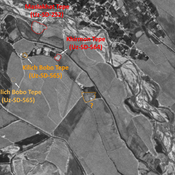
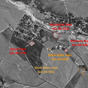
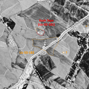
Anonymous site (Uz-SD-570) ? (1 km)
Kushan site. Small rectangular mound (0,15 ha), indicated on 1951 topographical map, already destroyed by 1970 by modern cultivation. Uncertain localisation on Corona imagery. Surveyed by MAFOuz.
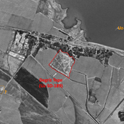
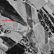
Unidentified site (1 km)
Probable archaeological site. Mostly square mound, visible on Corona imagery (1970), since destroyed by modern cultivation.