Vici.org
No images available yet. Please add images related to this place.

Surroundings:

Torre de Langalhão ou da MurtaMedieval watchtowerRego da MurtaIron age fort (Avecasta)Iron age fort (Avecasta)Ponte Romana na QuebradaCeras' bridgeCeras BridgeCeras water streamPonte de CerasCeras bridgeRibeiro Perro' s abandoned bridgeRio de Pias (Pias small creek) bridgePaved roadWalled path towards the riverWall path in direction to the river NabãoLoom weightPanoramic viewCastro de Cera? Western defensive wallRoman roadPonte do Casal VelhoPonte do Casal de BaixoPonte do AlgarãoBridge over ribeira da SoiandaPonte Romana da PóvoaCalçada da SoiandaTombstones found in Rio de Couros old church siteCasais bridgeCasais bridge

Location:

  • Portugal, Almogade
  • geo:39.72607,-8.391109
  • Location ± 0-5 m.

Period or year:

  • 1xx? / unknown

Class:

  • Rural settlement
  • invisible

Identifiers:

  • vici:place=96042

Annotations

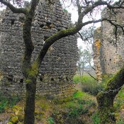
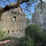
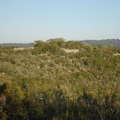
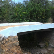
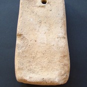
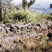
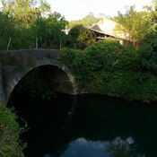
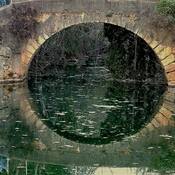
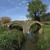
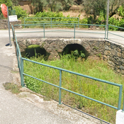
Probable  "Roman villa" with mosaics or a "mansio", located on top of a hill, which is a very unprecedented situation for this type of station.

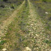
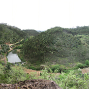
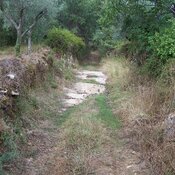
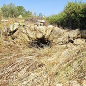
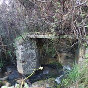
 It is quite destroyed, due to the planting of two vineyards (one on the North side and the other on the South side). In the vineyard on the north side, an "opus signinum" tank was destroyed. In the North area there are the remains of a lagoon, associated with karst phenomena, which was crossed by the Lagoa-Almogadel road.


Nearby

Avecasta cave forges (2 km)

Large natural cave used as habitat and metal forges

Rego da Murta (3 km)

Roman Rd


This object was added by Hugo on 2024-03-24. Last update by Hugo on 2024-03-24. Persistent URI: http://vici.org/vici/96042 . Download as RDF/XML, KML.
Annotation available using the Creative Commons Attribution-ShareAlike 3.0 Unported license. Metadata available using the Creative Commons Public Domain Dedication, unless it is explicitly stated otherwise.

Vici.org partners:

Livius.org: articles on ancient history   Rijksmuseum van Oudheden