Er zijn nog geen Nederlandstalige annotaties. Hier volgen annotaties in het Engels.
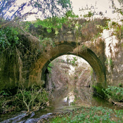
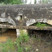
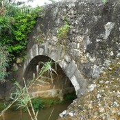
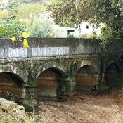
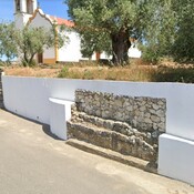
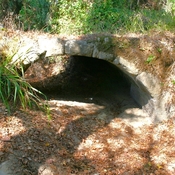
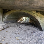
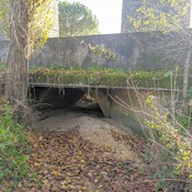
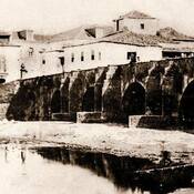
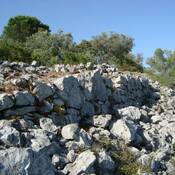
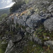
"It is undoubted that from the Roman route from Olisipo to Bracara Augusta, from Classical Antiquity, to the medieval Estrada Coimbrã, the lands of Alvaiázere were a privileged space for travelers, pilgrims, couriers, muleteers and even military bodies.
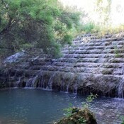
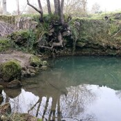
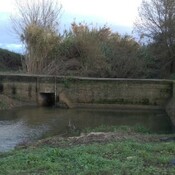
Several reasons contributed to this circumstance: the location of this region in an intermediate space between important population clusters; the advantage that, in a time of scarcity of bridges, constituted the absence of large watercourses that were difficult to pass; the convenience that, in a time when many of the paths were made by walking, due to the dryness of the porous limestone soils of the Alvaiázere-Ansião-Sicó mountains when compared to the clayey and muddy terrain of the coast, cut by countless lines of perennial water that dotted a large part of the coastal strip that since the Mondego extended to the Tagus"
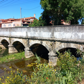
"It is undoubted that from the Roman route from Olisipo to Bracara Augusta, from Classical Antiquity, to the medieval Estrada Coimbrã, the lands of Alvaiázere were a privileged space for travelers, pilgrims, couriers, muleteers and even military bodies.
Several reasons contributed to this circumstance: the location of this region in an intermediate space between important population clusters; the advantage that, in a time of scarcity of bridges, constituted the absence of large watercourses that were difficult to pass; the convenience that, in a time when many of the paths were made by walking, due to the dryness of the porous limestone soils of the Alvaiázere-Ansião-Sicó mountains when compared to the clayey and muddy terrain of the coast, cut by countless lines of perennial water that dotted a large part of the coastal strip that since the Mondego extended to the Tagus"