
Il n'y a pas une annotation en français. Présenté est une annotation en Anglais.

Les environs:
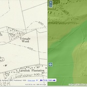
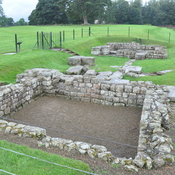


Localisation:
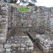
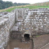
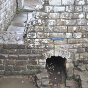
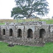
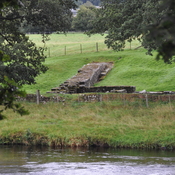
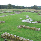
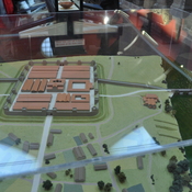
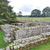
- Royaume-Uni, Wall
- geo:55.004948,-2.150432
- Précision ± 0-5 m.
Period or year:
- -4xx / unknown
Classification:
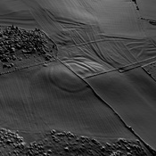
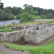
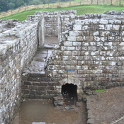
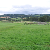
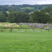
- Habitat rural
- Visible
Identificateurs:
- vici:place=95288
Annotations
Musées associés
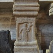
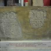
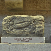
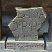
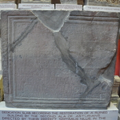
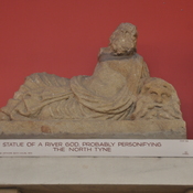
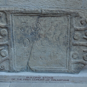
Chesters Roman Fort Museum
Chesters Roman Fort Museum
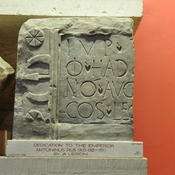
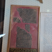
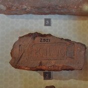
Great North Museum: Hancock
Great North Museum: Hancock
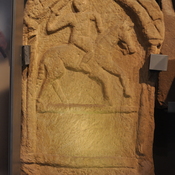
Alnwick Castle
Alnwick Castle and museum.
À proximité
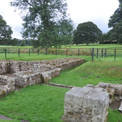
Roman Rd (1 km)
Roman Rd
Iron Age Settlement (2 km)
Iron Age Settlement
Vicus Cilurnum (2 km)
Vicus Cilurnum