

Es gibt noch keine deutschsprachige Anmerkungen. Präsentiert wirden Anmerkungen auf English.
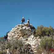
The tumulus of Mitralyöztepe situated 700 m south of the Alibeyli Town in the Saruhanli District of Manisa.. Mitralyöztepe tumulus was used as a grave a few times from the Archaic Period until the IV century BC.. The tumulus was robbed in 1965.
Sources:
- Mitralyöztepe - The Archaeological Settlements of Turkey - TAY Project
- Kubilay Nayır , Alibeyli Tümülüsleri kurtarma kazısı-1981, 4. Kazı sonuçları toplantısı, 8-12 Şubat 1982, pp. 199-206