WENKE Robert J. (1975), Imperial investments and agricultural developments in Parthian and Sassanian Khuzestan, 150 B. C. to A. D. 640 (https://www.academia.edu/35337300/Imperial_Investments_and_Agricultural_Developments_in_Parthian_and_Sassanian_Khuzestan_Iran_)
Lage:
- Iran, Shongor-e Soflá
- geo:32.116875,48.528908
- Lage ± 0-5 m.
Period or year:
- 250 / 4xx
Klassification:
- Bäuerliche Siedlung
- Unsichtbar
Identifiers:
- vici:place=86625
Anmerkungen
Es gibt noch keine deutschsprachige Anmerkungen. Präsentiert wirden Anmerkungen auf English.
WENKE Robert J. (1975), Imperial investments and agricultural developments in Parthian and Sassanian Khuzestan, 150 B. C. to A. D. 640 (https://www.academia.edu/35337300/Imperial_Investments_and_Agricultural_Developments_in_Parthian_and_Sassanian_Khuzestan_Iran_)
In der Nähe
Unidentified site
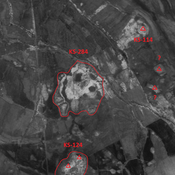
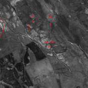
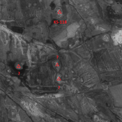
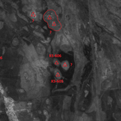
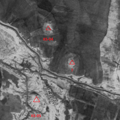
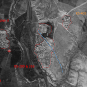
Probable settlement. Located with satellite imagery.
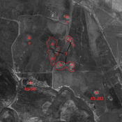
Anonymous settlement (KS-284)
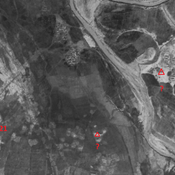
Late Susiana I and Susa I settlement. Large site composed of eroded mounds, destroyed by modern agriculture. But visible on CORONA imagery.
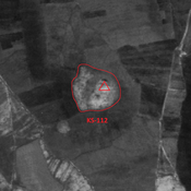
Anonymous settlement (KS-485)
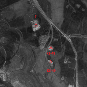
Middle Parthian site. Single-mound, destroyed by modern agriculture. But visible on CORONA imagery.

