
Vici.org
No images available yet. Please add images related to this place.

Surroundings:

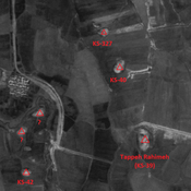
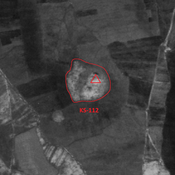
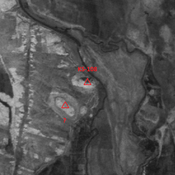
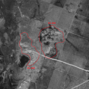
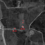
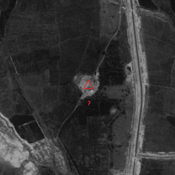
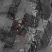
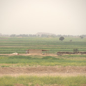
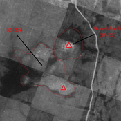
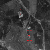
Iran_Susiana_Anonymous (KS-327) - CORONA imageryIran_Susiana_Anonymous (KS-112) - CORONA imageryIran_Susiana_Anonymous (KS-108) - CORONA imageryIran_Susiana_Unidentified (Qal‘eh-ye Khalīl) - CORONA imageryIran_Susiana_1968_Anonymous (KS-290 & 369) - CORONA imageryIran_Susiana_Unidentified (Chaghā Cheshmeh) - CORONA imageryIran_Susiana_Unidentified (Shalgehī-ye Pā’īn) - CORONA imageryIran_Susiana_Unidentified (Shahrak-e Enqelāb) - CORONA imageryIran_Susiana_1968_Anonymous (KS-368 & 400) - CORONA imgeryIran_Susiana_Unidentified (Deylam-e ‘Olyā) - CORONA imageryIran_Susiana_Unidentified (Shahrak-e Enqelāb 2) - CORONA imageryIran_Susiana_1968_Anonymous (KS-397) - CORONA imageryChoga MishIran_Susiana_1968_Boneh Fazili (KS-02) & KS-394 - CORONA imageryIran_Susiana_Anonymous (KS-48) - CORONA imagery

Location:

  • Iran (Islamic Republic of), Seyfābād
  • geo:32.199421,48.483086
  • Location ± 0-5 m.

Period or year:

  • 25~ / 125~

Class:

  • Rural settlement
  • invisible

Identifiers:

  • vici:place=86616

Annotations


Nearby

Fazili Chahar (KS-266) (1 km)

Late Susiana I, Susa I, Terminal Susa I and early, middle & late Uruk settlement (0,5 ha).

Cheghapan Tepe (KS-03) (1 km)

Late Susiana I, Susa I, Susa III, middle and neo-elamite settlement (8,7 ha).

Anonymous site (KS-432) (2 km)

Terminal Parthian and early Sasanian site. Destroyed by modern agriculture, but visible on CORONA imagery.


This object was added by Julien De Chocqueuse on 2023-05-24. Last update by Julien De Chocqueuse on 2023-05-24. Persistent URI: http://vici.org/vici/86616 . Download as RDF/XML, KML.
Annotation available using the Creative Commons Attribution-ShareAlike 3.0 Unported license. Metadata available using the Creative Commons Public Domain Dedication, unless it is explicitly stated otherwise.

Vici.org partners:

Livius.org: articles on ancient history   Rijksmuseum van Oudheden