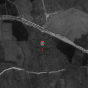
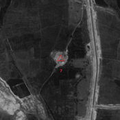
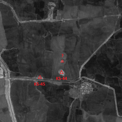
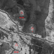
Vici.org

Umgebung:

Iran_Susiana_Unidentified (Shahrak-e Enqelāb) - CORONA imageryIran_Susiana_Unidentified (Shahrak-e Enqelāb 2) - CORONA imageryIran_Susiana_Unidentified (Deylam-e ‘Olyā) - CORONA imageryIran_Susiana_Anonymous (KS-112) - CORONA imageryIran_Susiana_Unidentified (Chaghā Cheshmeh) - CORONA imageryIran_Susiana_Unidentified (Qal‘eh-ye Khalīl) - CORONA imageryIran_Susiana_Unidentified (Shalgehī-ye Pā’īn) - CORONA imageryIran_Susiana_Anonymous (KS-108) - CORONA imageryIran_Susiana_1968_Anonymous (KS-290 & 369) - CORONA imageryIran_Susiana_Anonymous (KS-48) - CORONA imageryIran_Susiana_1968_Anonymous (KS-368 & 400) - CORONA imgeryIran_Susiana_Anonymous (KS-065) - CORONA imagery

Lage:

  • Iran, Boneh-ye Raḩīmeh
  • geo:32.200146,48.454212
  • Lage ± 0-5 m.

Period or year:

  • -69xx / -40xx?

Klassification:

  • Bäuerliche Siedlung
  • Unsichtbar

Identifiers:

  • vici:place=86530

Anmerkungen

RASHIDIAN Elnaz (2022), The Riverine Landscape of Formative and Archaic Susiana (SW Iran) – A suggestion Based on Recent Geoarchaeological Evidence, Iranian Journal of Archaeological Studies (https://www.academia.edu/100388978/The_Riverine_Landscape_of_Formative_and_Archaic_Susiana_SW_Iran_A_Suggestion_Based_on_Recent_Geoarchaeological_Evidence)


In der Nähe

Unidentified site

Probable settlement. Located with satellite imagery.

Unidentified site

Probable settlement. Located with satellite imagery.

Unidentified site (1 km)

Probable settlement. Located with satellite imagery.