
Il n'y a pas d'annotations. Ajouter une note.
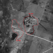
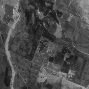
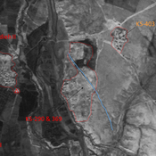
 - CORONA imagery")
Les environs:


Localisation:
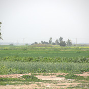
- Iran, Shalgehī-ye Pā’īn
- geo:32.239204,48.503094
- Précision ± 0-5 m.
Classification:
- Observation
- Invisible
Identificateurs:
- vici:place=86465
Annotations
À proximité
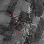
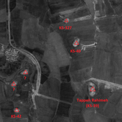
Chogha Bonut [Itan] (1 km)
Neolithic settlement
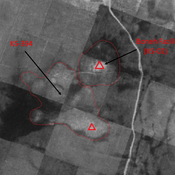
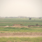
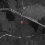
Unidentified site (1 km)
Probable settlement. Located with satellite imagery.
Unidentified site (2 km)
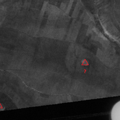
Probable settlement. Single-mound, destroyed by modern agriculture, but visible on CORONA imagery.