

Il n'y a pas d'annotations. Ajouter une note.

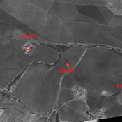
Localisation:
- Iran, Boneh-ye ‘Alvān
- geo:32.120129,48.457603
- Précision ± 0-5 m.
Classification:
- Observation
- Visible
Identificateurs:
- vici:place=86459
Annotations
À proximité
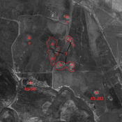
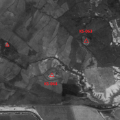
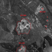
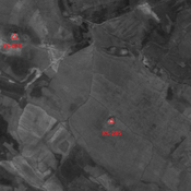
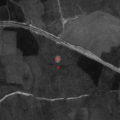
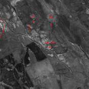
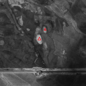
Unidentified site
Probable settlement. Cluster of mounds, partially destroyed by modern agriculture. Better visible on CORONA imagery.
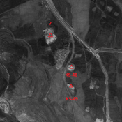
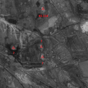
Unidentified site
Probable settlement. Located with satellite imagery. Destroyed by modern agriculture, but visible on CORONA imagery.
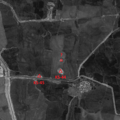
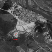
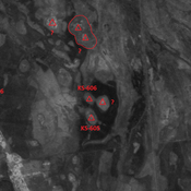
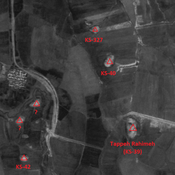
Tappeh Alvan (KS-50)
Possible Susa III settlement (1,1 ha).