WENKE Robert J. (1975), Imperial investments and agricultural developments in Parthian and Sassanian Khuzestan, 150 B. C. to A. D. 640 (https://www.academia.edu/35337300/Imperial_Investments_and_Agricultural_Developments_in_Parthian_and_Sassanian_Khuzestan_Iran_)
Lage:
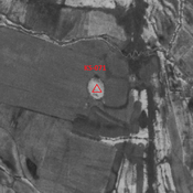
- Iran, ‘Abbāsīyeh
- geo:32.216351,48.296001
- Lage ± 0-5 m.
Period or year:
- 25~ / 250~
Klassification:
- Bäuerliche Siedlung
- Sichtbar
Identifiers:
- vici:place=86371
Anmerkungen
Es gibt noch keine deutschsprachige Anmerkungen. Präsentiert wirden Anmerkungen auf English.
WENKE Robert J. (1975), Imperial investments and agricultural developments in Parthian and Sassanian Khuzestan, 150 B. C. to A. D. 640 (https://www.academia.edu/35337300/Imperial_Investments_and_Agricultural_Developments_in_Parthian_and_Sassanian_Khuzestan_Iran_)
Relevante Museen
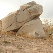
Susa, Archaeological Museum
Susa, Archaeological Museum
Tehran, National Museum
Tehran, National Museum
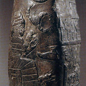
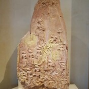
Paris, Louvre
Paris, Louvre
London, The British Museum
The British Museum has one of the world's largest collections of antiquities from the Classical world.
In der Nähe
Unidentified site (1 km)
Probable settlement. Located with satellite imagery.
Unidentified site (1 km)
Probable settlement. Single-mound destroyed by modern agriculture, but visible on CORONA imagery.
Unidentified site (2 km)
Probable settlement. Single-mound destroyed by modern agriculture, but visible on CORONA imagery.

