
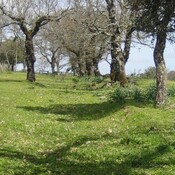
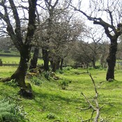
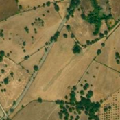
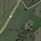
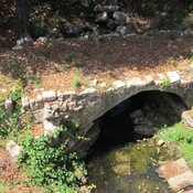
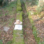
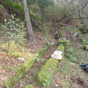
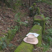
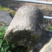
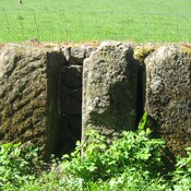
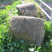
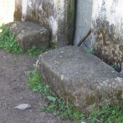
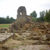
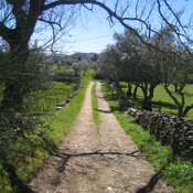
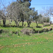
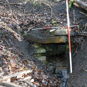
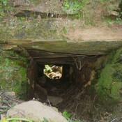
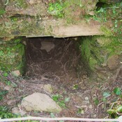
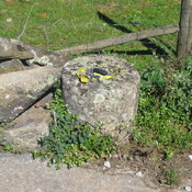
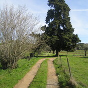
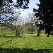
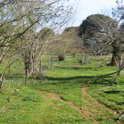
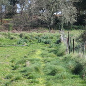
The Roman Detour The road that left the SW gate of Ammaia is heading for a sighting point at the top of a hill but it encounters a very large swampy depression fed by two abundant springs. The road builders diverted the road around the swamp in typically Roman straight sections. The first section to the west is now a deep holloway. The second section turns back SSW directly towards the sighting point again. This led the road to ford a narrow stream where the waters left the swampy ground. After the ford the road is visible (in parts) as a central cambered mound (agger) clad in secondary growth of cork trees. The local government boundaries follow the Roman road detour showing it´s antiquity. On private land, but visible from the road. https://www.google.com/maps/@39.3399331,-7.4136908,714m/data=!3m1!1e3


Omgeving:

Locatie:
- Portugal, Hortas
- geo:39.339939,-7.415171
- Locatie precies
Classificatie:
- Archeologische waarneming
- Zichtbaar
Identifiers:
- vici:place=86331
Annotaties
The Roman Detour The road that left the SW gate of Ammaia is heading for a sighting point at the top of a hill but it encounters a very large swampy depression fed by two abundant springs. The road builders diverted the road around the swamp in typically Roman straight sections. The first section to the west is now a deep holloway. The second section turns back SSW directly towards the sighting point again. This led the road to ford a narrow stream where the waters left the swampy ground. After the ford the road is visible (in parts) as a central cambered mound (agger) clad in secondary growth of cork trees. The local government boundaries follow the Roman road detour showing it´s antiquity. On private land, but visible from the road. https://www.google.com/maps/@39.3399331,-7.4136908,714m/data=!3m1!1e3
In de buurt
Roman Road
Section of Roman Road
Roman Road as Crop Mark
Roman Road as crop mark
Calçada de Carris (2 km)
Roman Rd