
No annotations have been added. Please add information about this place.
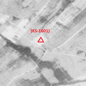
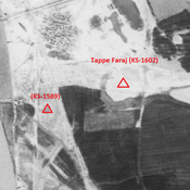
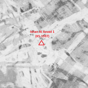
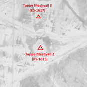
 - CORONA imagery 1968")
Surroundings:
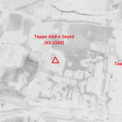
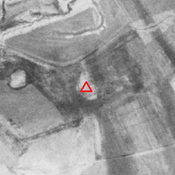

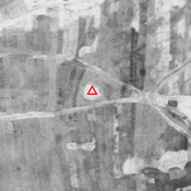
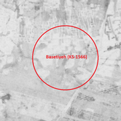

Location:
- Iran (Islamic Republic of), ‘Arab Ḩasan
- geo:31.825871,48.900455
- Location ± 0-5 m.
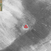
Class:
- Archaeological observation
- visible
Identifiers:
- vici:place=85931
Annotations
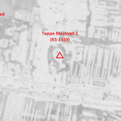
Nearby
Anonymous site (KS-1623) (1 km)
Old and Middle Elamite, Achaemenid, Parthian, early and middle Islamic site (1,52 ha).
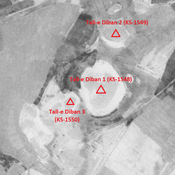
Tall-e Diban 2 (KS-1549) (1 km)
Achaemenid, Parthian, Sasanian and early medieval Islamic settlement (3,11 ha). Recently destroyed by agriculture.
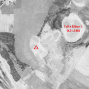
Tall-e Diban 1 (KS-1548) (2 km)
Parthian, Sasanian and early medieval Islamic settlement (10,02 ha). Western part recently destroyed by agriculture.