
No annotations have been added. Please add information about this place.
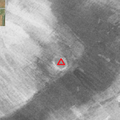
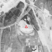
 - CORONA imagery 1968")
Surroundings:

Location:
- Iran (Islamic Republic of), Razūqī
- geo:31.846565,48.980175
- Location ± 0-5 m.
Class:
- Archaeological observation
- invisible
Identifiers:
- vici:place=85928
Annotations
Nearby
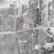
Unidentified site
Probable settlement. Badly damaged by agriculture, but visible on CORONA imagery.
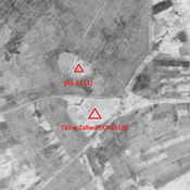
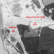
Anonymous site (KS-1613) (1 km)
Early and middle Islamic site (2,24 ha).
Tejiejeh (KS-1614) (1 km)
Old Elamite site (1,34 ha).