
Vici.org
Il n'y a pas d'images. Télécharger une image.

Les environs:

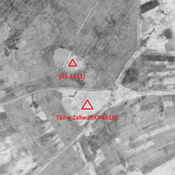
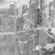
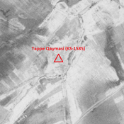
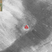
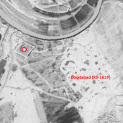
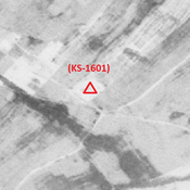
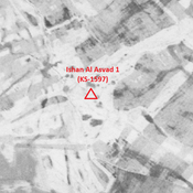
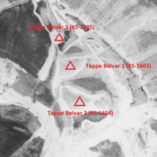
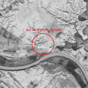
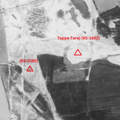
Tall-e Zahed (KS-1610) - CORONA imagery 1968Unidentified site (Razūqī 1) - CORONA imagery 1968Unidentified site (Razūqī 2) - CORONA imagery 1968Tappe Qaymasi (KS-1585) - CORONA imagery 1968Unidentified site (Bunneh Farwaz Khān 1)Unidentified site (Mankhūsh 1) - CORONA imagery 1968Anonymous settlement (KS-1601) - CORONA imagery 1968Ishan Al Asvad 1 (KS-1597) - CORONA imageryTappe Belvar 2 (KS-1604) - CORONA imagery 1968Nur Ali (KS1629, KS1640) - CORONA imagery 1968Tappe Faraj (KS-1602) - CORONA imagery 1968Unidentified site (Arab Ḩasan 1) - CORONA imagery 1968

Localisation:

  • Iran, Nasīr
  • geo:31.875681,48.973339
  • Précision ± 0-5 m.

Period or year:

  • -1xx / 10xx

Classification:

  • Village
  • Invisible

Identificateurs:

  • vici:place=85885

Annotations

MOGHADDAM Abbas & MIRI Negin (2003), Archaeological Research in the Mianab Plain of Lowland Susiana, South-Western Iran, Journal of the British Institute of Persian Studies (https://www.researchgate.net/publication/262117290_Archaeological_Research_in_the_Mianab_Plain_of_Lowland_Susiana_South-Western_Iran)


À proximité

Anonymous settlement (KS-1611)

Middle Islamic settlement (2,03 ha). Almost completely destroyed by agriculture.

Tall-e Zahed (KS-1610)

Early and middle Islamic settlement (5,6 ha).

Tall-e Deymi (KS-1609) (1 km)

Early and middle Islamic site (0,73 ha).