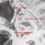
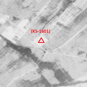
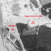
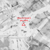
MOGHADDAM Abbas & MIRI Negin (2003), Archaeological Research in the Mianab Plain of Lowland Susiana, South-Western Iran, Journal of the British Institute of Persian Studies (https://www.researchgate.net/publication/262117290_Archaeological_Research_in_the_Mianab_Plain_of_Lowland_Susiana_South-Western_Iran)
Localisation:
- Iran, Zohūābād
- geo:31.786303,48.901981
- Précision ± 0-5 m.
Period or year:
- -1xx / 6xx
Classification:
- Village
- Visible
Identificateurs:
- vici:place=85817
Annotations
Il n'y a pas une annotation en français. Présenté est une annotation en Anglais.
MOGHADDAM Abbas & MIRI Negin (2003), Archaeological Research in the Mianab Plain of Lowland Susiana, South-Western Iran, Journal of the British Institute of Persian Studies (https://www.researchgate.net/publication/262117290_Archaeological_Research_in_the_Mianab_Plain_of_Lowland_Susiana_South-Western_Iran)
À proximité
Anonymous site (KS-1569) (1 km)
Early and middle Islamic site (0,44 ha).
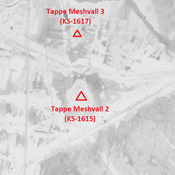
Tappe Meshvall 3 (KS-1617) (1 km)
Late Susiana 1 and Parthian settlement (1,24 ha).
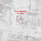
Tappe Meshvall 1 (KS-1559) (1 km)
Achaemenid, Parthian and early medieval Islamic settlement (3,11 ha).

