
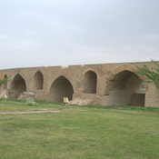
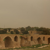
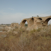
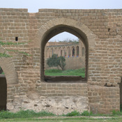
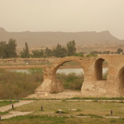
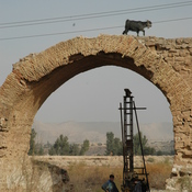
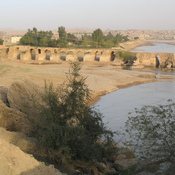
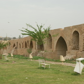
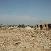
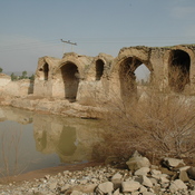
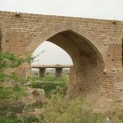
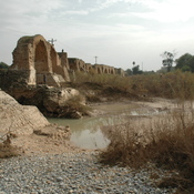
MOGHADDAM Abbas & MIRI Negin (2003), Archaeological Research in the Mianab Plain of Lowland Susiana, South-Western Iran, Journal of the British Institute of Persian Studies (https://www.researchgate.net/publication/262117290_Archaeological_Research_in_the_Mianab_Plain_of_Lowland_Susiana_South-Western_Iran)

Location:
- Iran (Islamic Republic of), Būrkī
- geo:32.007488,48.814606
- Location ± 0-5 m.
Period or year:
- -1xx / 14xx
Class:
- Rural settlement
- visible
Identifiers:
- vici:place=85755
Annotations
Nearby
Tappe Ali Shahi (KS-1511)
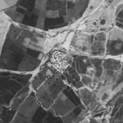
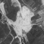
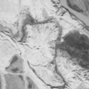
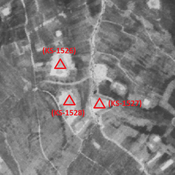
Parthian and middle islamic settlement (4,56 ha). Badly damaged by modern urbanisation, but visible on CORONA imagery.
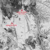
Gelalak (KS-1505) (2 km)
Parthian settlement (3,35 ha).
Dastva (KS-1504) (2 km)
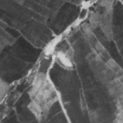
Parthian, Sasanian and middle islamic single-mound site (1,07 ha). Destroyed by human activities, but still visible on CORONA imagery.