

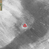
MOGHADDAM Abbas, MIRI Negin (2007), Archaeological Surveys in the Eastern Corridor, South Western Iran (https://www.academia.edu/80744464/Archaeological_Surveys_in_the_Eastern_Corridor_South_Western_Iran)

Location:
- Iran (Islamic Republic of), Pīr Gārī
- geo:31.967819,48.958984
- Location ± 0-5 m.
Period or year:
- -14xx / -11xx
Class:
- Temple or sanctuary
- visible
Identifiers:
- vici:place=85686
Annotations
Nearby
Chogha Chanbar (KS1638) (1 km)
Late Middle Susiana, Late Susiana I & II, and Uruk period settlement (4,1 ha). Surroundings destroyed by modern agriculture.
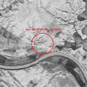
Nur Ali (KS1629, KS1640) (3 km)
Elamite, Achaemenid, Seleucid, Parthian, Sasanian and Medieval Islamic settlement (11,2 ha). Mostly destroyed by human activites and erosion.
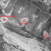
Anonymous settlement (KS-1584) (6 km)
Early and middle Islamic settlement (2,54 ha).