
Vici.org

Les environs:

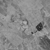
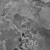
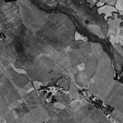
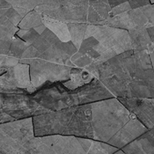
Tingar Tappeh (KH-30), Gorgan plain, IranQoli Tappeh (KH-35), Gorgan plain, IranDestroyed anonymous settlement (KH-27), Gorgan plain, IranAnonymous settlement (KH-22), Gorgan plain, IranHaji Balkan Narges Tappeh (KH-39), Gorgan plain, Iran

Localisation:

  • Iran, Qāsemābād
  • geo:37.273479,55.361629
  • Précision ± 0-5 m.

Period or year:

  • 2xx / unknown

Classification:

  • Village
  • Visible

Identificateurs:

  • vici:place=76569

Annotations

Il n'y a pas une annotation en français. Présenté est une annotation en Anglais.

HOPPER, Kristen Alicia (2017), The Gorgan Plain of northeast Iran - a diachronic analysis of settlement and land use patterns relating to urban, rural and mobile populations on a Sasanian frontier, Durham theses, Durham University (http://etheses.dur.ac.uk/12326/)

HOPPER, Kristen Alicia (2017), The Gorgan Plain of northeast Iran - a diachronic analysis of settlement and land use patterns relating to urban, rural and mobile populations on a Sasanian frontier, Durham theses, Durham University (http://etheses.dur.ac.uk/12326/)


À proximité

Unidentified site (1 km)

Probable settlement. Located with satellite imagery.

Unidentified site (2 km)

Probable settlement. Located with satellite imagery.

Qal'eh Bibi Halimeh (NTS-228) (2 km)

Medieval islamic settlement. Completely destroyed by urbanisation, but still visible on CORONA imagery (1969).