

Es gibt noch keine deutschsprachige Anmerkungen. Präsentiert wirden Anmerkungen auf English.
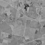
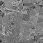
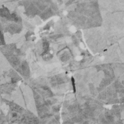
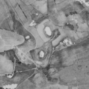
HOPPER, Kristen Alicia (2017), The Gorgan Plain of northeast Iran - a diachronic analysis of settlement and land use patterns relating to urban, rural and mobile populations on a Sasanian frontier, Durham theses, Durham University (http://etheses.dur.ac.uk/12326/)