
HOPPER, Kristen Alicia (2017), The Gorgan Plain of northeast Iran - a diachronic analysis of settlement and land use patterns relating to urban, rural and mobile populations on a Sasanian frontier, Durham theses, Durham University (http://etheses.dur.ac.uk/12326/)

Location:
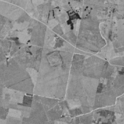
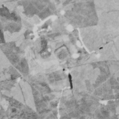
- Iran (Islamic Republic of), Sar Tappeh
- geo:37.199837,55.274502
- Location ± 0-5 m.
Period or year:
- -19xx / 14xx
Class:
- Rural settlement
- visible
Identifiers:
- vici:place=75252
Annotations
Nearby
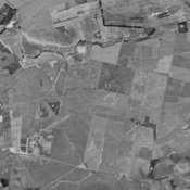
Forudgah Tappeh (NTS-1) (1 km)
Chalcolithic, Bronze Age, parthian, sasanian and islamic settlement. Completely leveled and destroyed by agriculture, but still visible on CORONA imagery (1969).
Unidentified site (1 km)
Probable settlement. Located with satellite imagery.
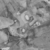
Nargiz Tappeh (ARNE-113) (1 km)
Iron Age III & IV, and islamic settlement. Badly damaged by agriculture.