
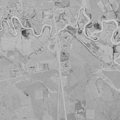
WILKINSON Tony J., REKAVANDI Hamid Omrani, HOPPER Kristen, PRIESTMAN Seth, ROUSTAEI Kourosh & GALIATSATOS Nikolaos (2013), The Landscapes of the Gorgan Wall, in Persia's Imperial Power in Late Antiquity. The Great Wall of Gorgan and frontier landscapes of Sasanian Iran. British Institute of Persian Studies Archaeological Monograph Series II, Oxbow: Oxford, 24-132 (https://www.academia.edu/2642021/Wilkinson_Rekavandi_Hopper_Priestman_and_Roustaei_2013_The_Landscapes_of_the_Gorgan_Wall)

Location:
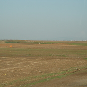
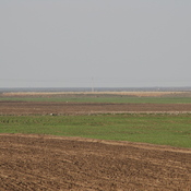
- Iran (Islamic Republic of), Gonbad-e Kāvūs
- geo:37.26849,55.197449
- Location ± 0-5 m.
Period or year:
- 6xx / unknown
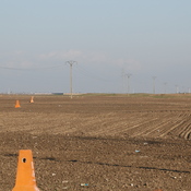
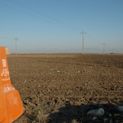
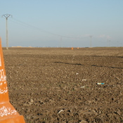
Class:
- Castle
- visible
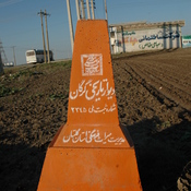
Identifiers:
- vici:place=74699
Annotations
Nearby
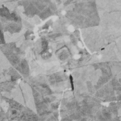
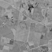
Sediq Tappeh (KH-41) (2 km)
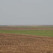
Bronze Age, Iron Age III & IV, and medieval islamic settlement. Complex of low mounds, leveled and almost completely destroyed by agriculture, but still visible on CORONA imagery (1969).
Haji Morad Tappeh (KH-42) (2 km)
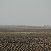
Iron III & IV, achaemenid, parthian and medieval islamic settlement. Eastern and north-eastern extensions badly damaged by agriculture, but still visible on CORONA imagery (1969).
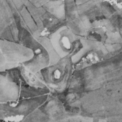
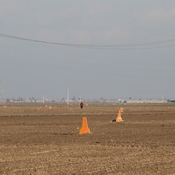
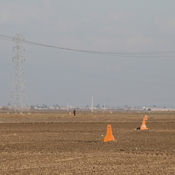
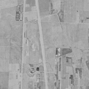
Gorgan Wall - Fort 10 (2 km)
Gorgan Wall - Fort 10