
Vici.org
Er zijn nog geen afbeeldingen met betrekking tot deze plaats toegevoegd.
Afbeelding toevoegen.

Omgeving:

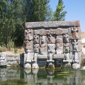
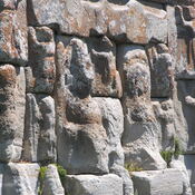
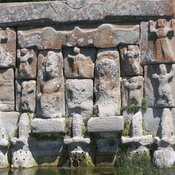
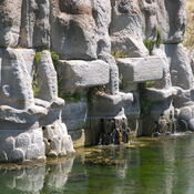
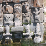
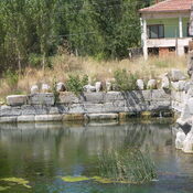
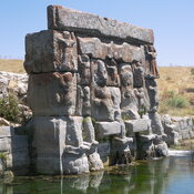
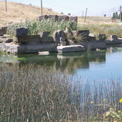
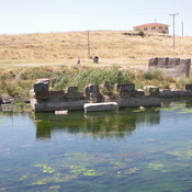
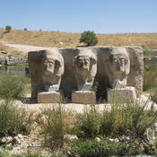
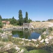
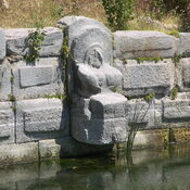
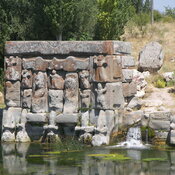
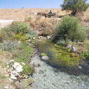
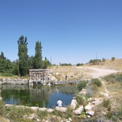
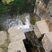
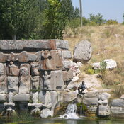
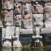
Eflatunpınar - Hittite sanctuaryEflatunpınar - Hittite sanctuaryEflatunpınar - Hittite sanctuaryEflatunpınar - Hittite sanctuaryEflatunpınar - Hittite sanctuaryEflatunpınar - Hittite sanctuaryThe Hittite spring sanctuary of Eflatun PınarEflatunpınar - Hittite sanctuaryEflatunpınar - Hittite sanctuaryEflatunpınar - Hittite sanctuaryRock Sanctuary  - Eflatun PinarEflatunpınar - Hittite sanctuaryRock Sanctuary  - Eflatun PinarEflatunpınar - Hittite monument - modern roadEflatunpınar - Hittite monumentRock Sanctuary  - Eflatun PinarEflatunpınar - Hittite sanctuaryRock Sanctuary  - Eflatun PinarEflatunpınar - Hittite sanctuaryRock Sanctuary  - Eflatun PinarEflatunpınar - Hittite sanctuaryEflatunpınar - Hittite sanctuary

Locatie:

  • Turkije, Gölkaşı
  • geo:37.759144,31.681129
  • Locatie ± 25-100 m.

Period or year:

  • -9000~ / unknown

Classificatie:

  • Landelijke nederzetting
  • Zichtbaar

Identifiers:

  • vici:place=69228

Annotaties

Er zijn nog geen Nederlandstalige annotaties. Hier volgen annotaties in het Engels.

Erbaba Höyük - Erbaba Tumulus is located 2.5 km. north-northwest of the Gölkaşı Village (Kistifan) and 1.5 km from Beyşehir Lake. The site is partially damaged by local peasants, who dig holes to earn some soil. It was discovered in 1963 during the field survey conducted by Ralph Solecki around Lake Beyşehir and Lake Suğla. The excavations  in 1969, 1971, 1974 and 1977 which was conducted by Jacques Bordaz of New York University unearthed  three culture layers. The mound was occupied during the Pre-pottery Neolithic Age and was inhabited during the Late Chalcolithic Age  albeit for a short time as indicates scarce amount of Hacilar-type pottery collected from the surface.

Sources:

  1. TAY – Yerleşme Ayrıntılari-http://www.tayprojesi.org/TAYmaster.fm$Retrieve?YerlesmeNo=847&html=masterEngDetail.html&layout=web

Erbaba Höyük - Erbaba Tumulus is located 2.5 km. north-northwest of the Gölkaşı Village (Kistifan) and 1.5 km from Beyşehir Lake. The site is partially damaged by local peasants, who dig holes to earn some soil. It was discovered in 1963 during the field survey conducted by Ralph Solecki around Lake Beyşehir and Lake Suğla. The excavations  in 1969, 1971, 1974 and 1977 which was conducted by Jacques Bordaz of New York University unearthed  three culture layers. The mound was occupied during the Pre-pottery Neolithic Age and was inhabited during the Late Chalcolithic Age  albeit for a short time as indicates scarce amount of Hacilar-type pottery collected from the surface.

Sources:

  1. TAY – Yerleşme Ayrıntılari-http://www.tayprojesi.org/TAYmaster.fm$Retrieve?YerlesmeNo=847&html=masterEngDetail.html&layout=web

In de buurt

Beyşehir Höyük C - Kocadere Höyük (4 km)

Beolithic, EBA and MBA periods.

Yiğit Karan (6 km)

Roman period site.

Eylikler Höyük (6 km)

Site occupied since Bronze Age till Byzanrine Period.


Dit object is toegevoegd door Elżbieta op 2020-12-14. Laatst bewerkt door A. Erdem Şentürk op 2023-06-29. Persistent URI: http://vici.org/vici/69228 . Download als RDF/XML, KML.
Annotatie beschikbaar onder de Creative Commons Naamsvermelding-GelijkDelen 3.0 Unported-licentie. Metadata beschikbaar onder de Creative Commons Publiek Domein Verklaring, tenzij expliciet anders aangegeven.

Vici.org partners:

Livius.org: articles on ancient history   Rijksmuseum van Oudheden