Il n'y a pas une annotation en français. Présenté est une annotation en Anglais.
Sources:
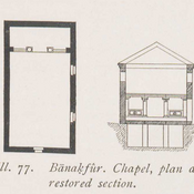
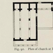
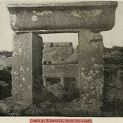
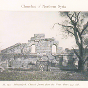
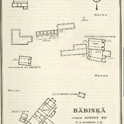
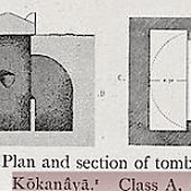
- Howard Crosby Butler: Early Churches in Syria. Fourth to Seventh Centuries. Princeton University Press, Princeton 1929, p. 76


Sources:
Sources:
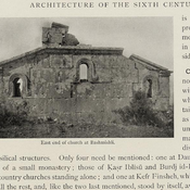
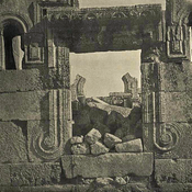
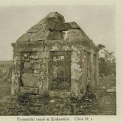
Small Byzantine chapel.
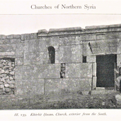
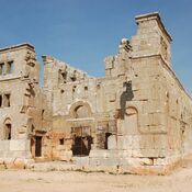
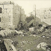
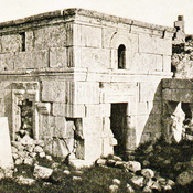
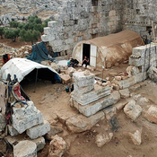
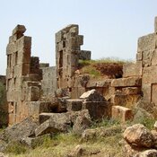
Byzantine ruins of Ishruk - Harem District in Syria.
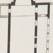
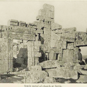
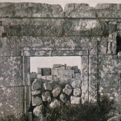
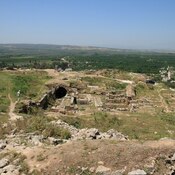
Byzantine settlement.