
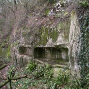
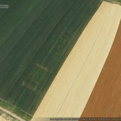
Es gibt noch keine Anmerkungen. Bitte, Informationen einfügen.

Lage:
- Frankreich, Reviers
- geo:49.302212,-0.453853
- Lage ± 5-25 m.
Period or year:
- 1x? / unknown
Klassification:
- Römerstraße
- Sichtbar
Identifiers:
- vici:place=66553
Anmerkungen
In der Nähe
Roman camp (1 km)
Roman camp
Colombiers-sur-Seulles tumulus (3 km)
A long barrow near the village of Colombiers-sur-Seulles, between Caen and Bayeux just inland from the D-Day beaches of Calvados, which has been excavated and partially destroyed several times in the past.
Possible Roman buildings (8 km)
Possible Roman buildings