
Vici.org
Keine Bilder von diesem Ort. Bitte, Bilder hochladen.

Umgebung:

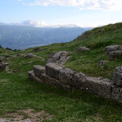
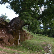
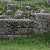
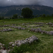
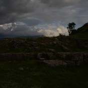
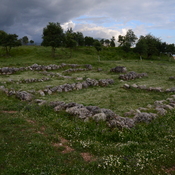
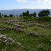
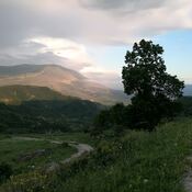
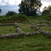
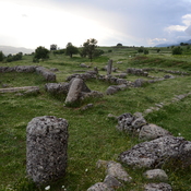
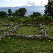
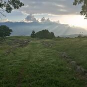
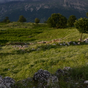
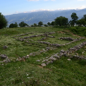
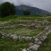
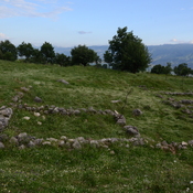
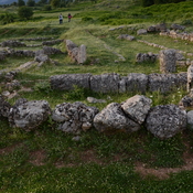
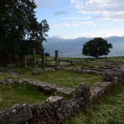
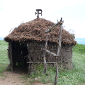
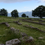
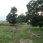
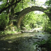
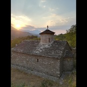
Antigonia, Remains of east gateAntigonia, TreeAntigonia, Remains of east gateAntigonia, Unidentified structureAntigonia, Remains of east towerAntigonia, Unidentified structureAntigonia, EveningAntigonia, Unidentified structureAntigonia, EveningAntigonia, Unidentified structureAntigonia, Foundations of the house of a carpenterAntigonia, Unidentified structureAntigonia, EveningAntigonia, Foundations of the house with mosaicsAntigonia, Unidentified structureAntigonia from GjirokasterAntigonia, Foundations of the house opposite house with peristyleAntigonia, Unidentified structureAntigonia, Remains of a churchAntigonia, Foundations of the house with peristyleAntigonia, Shepherd hutAntigonia, CitadelAntigonia, RoadAntigonia from Hadrianopolis,Antigonia, Remains of commercial premisesAntigonia, StoaStone bridge of Nivani MonasteryNivani MonasteryLong shot of ancient bridgeWideshot of Ura e gjarper

Lage:

  • Albanien, Selckë
  • geo:40.109978,20.300249
  • Lage ± 0-5 m.

Period or year:

  • -2xx / unknown

Klassification:

  • Bäuerliche Siedlung
  • Sichtbar

Identifiers:

  • vici:place=61385

Anmerkungen

https://www.academia.edu/9221371/La_Valle_del_Drino_in_Et%C3%A0_Ellenistica_in_R._Perna_D._%C3%87ondi_a_cura_di_Hadrianopolis_II_pp._67-102_Bari_2012, p. 77


In der Nähe

Mar Behnam Monastery (4 km)

Monastery of the Sahade Mar Behnam and Marth Sara

Church of the Dormition of the Theotokos (Labovë e Kryqit) (4 km)

6th century AD church built during the reign of Byzantine Emperor Justinian I, later rebuilt in the tenth century AD.

Ilirian Castle (4 km)

Ilirian Castle