
Vici.org
Il n'y a pas d'images. Télécharger une image.

Les environs:

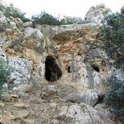
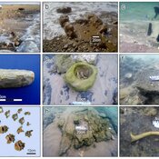
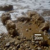
Finger Cave. Mount CarmelTel HreizTel Hreiz, seawall

Localisation:

  • Israël, ‘En Hod
  • geo:32.712318,34.978783
  • Précision incertaine

Period or year:

  • -10500~ / unknown

Classification:

  • Habitat rural
  • Visible

Identificateurs:

  • vici:place=57283

Annotations

Il n'y a pas une annotation en français. Présenté est une annotation en Anglais.

See:

  1. Dorothy Garrod: Excavations at the Mugharet El-Wad, 1930, Palestine Exploration Quarterly, 63:2,1931, pp. 99-103
  2. Autorzy Charles Keith Maisels: The Near East: Archaeology in the 'Cradle of Civilization', Routledge 2005
  3. http://ancientneareast.tripod.com/38.html

See:

  1. Dorothy Garrod: Excavations at the Mugharet El-Wad, 1930, Palestine Exploration Quarterly, 63:2,1931, pp. 99-103
  2. Autorzy Charles Keith Maisels: The Near East: Archaeology in the 'Cradle of Civilization', Routledge 2005
  3. http://ancientneareast.tripod.com/38.html

À proximité

Nahal Oren - Usba Cave. Mt. Carmel

Late Natufian — PPNA site.

Nahal Oren

Neolithic village.

Nahal Oren

Natufian site.