
Vici.org
Il n'y a pas d'images. Télécharger une image.

Les environs:

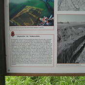
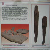
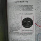
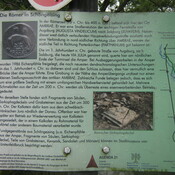
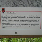
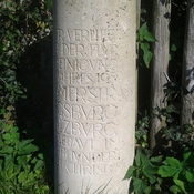
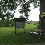
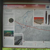
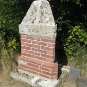
Archäologische Tafel Schöngeising: StraßeArchäologische Tafel Schöngeising FundeArcheologische Tafel Schöngeising: OrtInfotafel römische AmperbrückeSchöngeising2Archäologische Tafel Schöngeising: TurminselGedenksäule SchöngeisingArchäologische Tafel SchöngeisingArchäologische Tafel Schöngeising: Karteggf.  Römische Wegmarkierungggf. Römische Wegmarkierung Info

Localisation:

  • Allemagne, Jesenwang
  • geo:48.169765,11.149125
  • Précision ± 0-5 m.

Period or year:

  • 200 / unknown

Classification:

  • Habitat rural
  • Invisible

Identificateurs:

  • vici:place=57115

Annotations

http://geoportal.bayern.de/bayernatlas-klassik/4sYaZj5kBQaP0P2pTM41IiIyJODZf0SCEb9WvtL0HlBjBlWfWc_-pbxsdD0-9hsef4tp2JpjaiMGNc2VNJJhko6YSj0dMPxJ1hcAn6eAlNfnK0XfuI5RNv57JB4VKtpZ/4sY59/0Xfed/Ktp16

Nr D-1-7832-0111


À proximité

Via Iulia

Ysar bis Jesenwang

Roman cemetery (2 km)

Roman cemetery

Straße Landsberied (2 km)

Straße