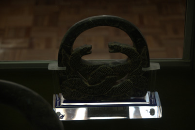
Il n'y a pas une annotation en français. Présenté est une annotation en Anglais.
Kerman has a long history and was known to the Greeks as Karamani. Ptolemy and Ammianus Marcellinus mention the country under the name Carmania. According the tradition it was founded as a defensive outpost, with the name Ardashir-Khoreh, by Ardashīr I (reigned 224–241 AD) founder of the Sasanian Empire, in the 3rd century AD.
Soucers:
- LE STRANGE Guy (1905), the lands of the eastern caliphate - from the Moslem Conquest to the time of Timur, Cambridge Press (https://archive.org/details/landsofeasternca00lest)
- Xavier de Planhol and Bernard Hourcade, “KERMAN ii. Historical Geography,” Encyclopædia Iranica, XVI/3, pp. 251-265 (https://iranicaonline.org/articles/kerman-historical-geography)

